Land Measurement
Survey
Precise, defensible measurement of any parcel — plot, farm land or full layout. Area, dimensions and levels captured with total-station equipment and reconciled against your 7/12 extract, property card and tippan, so the plan in your file matches the ground under your feet.
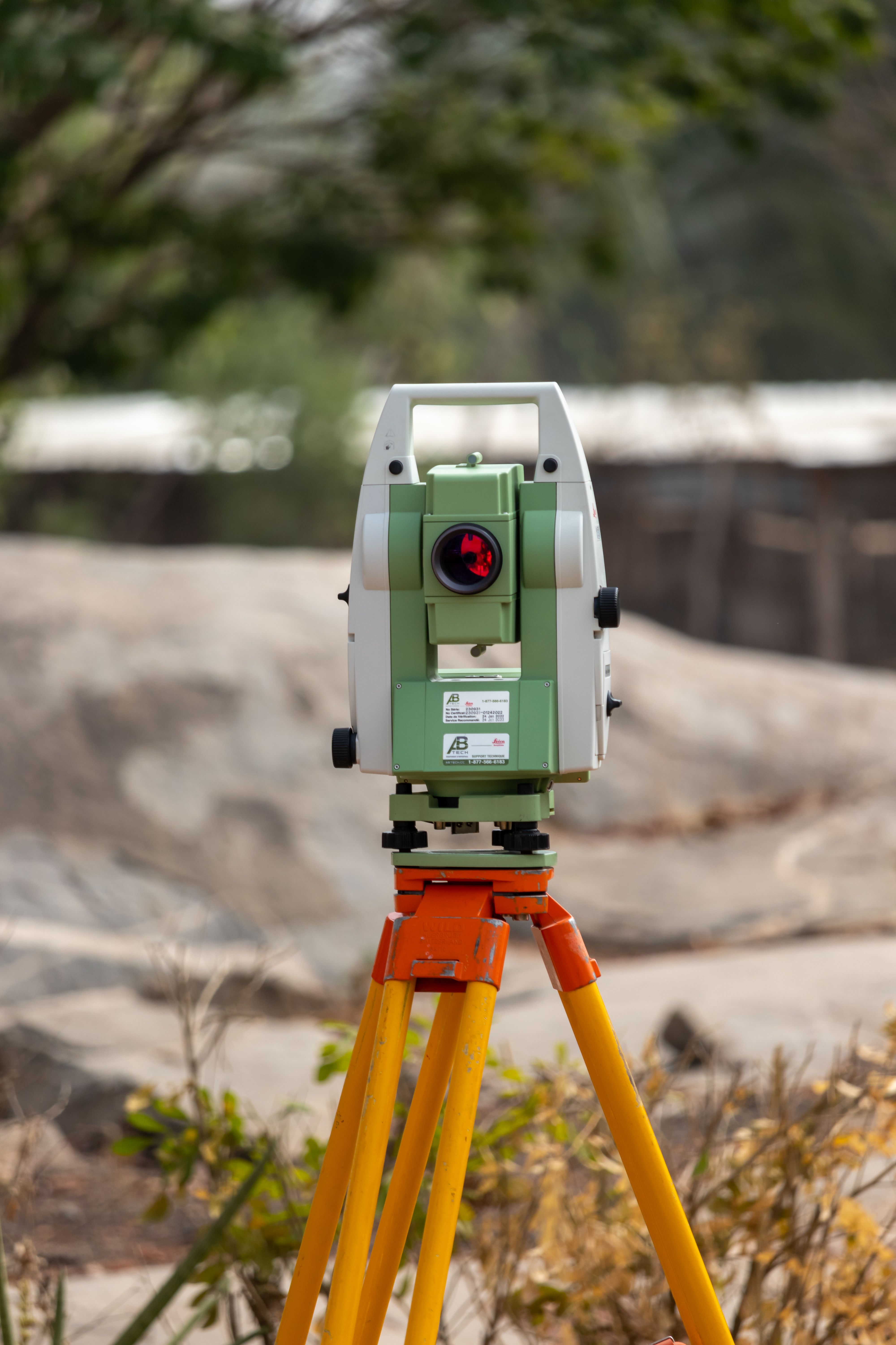
What a measurement survey includes
Everything needed to state your area with confidence — and to defend it if anyone questions it later.
- Area and dimension measurement to revenue-record accuracy
- Total-station capture of every corner with coordinates
- Reconciliation against 7/12, property card, tippan and old measurement sheets
- Level and spot-height readings where the ground is not flat
- Area stated in hectare-are and acre-guntha, plus sq.m and sq.ft
- Measurement plan drawn and issued for your file
Before you buy
Confirm the parcel on the ground is the parcel in the document — area, shape and access — before any money moves.
Before you build
Set out the plot correctly so setbacks, FSI and built-up area are calculated against a real measured area, not an assumed one.
Before you sell or divide
Partition between heirs, a sale of part of a Gut, or a bank valuation all start from a clean, current measurement.
Four steps, no surprises.
Records check
We read the 7/12, tippan and any earlier measurement before stepping on site.
Field capture
Instrument set over a fixed reference; every corner, bend and feature observed.
Computation
Areas, dimensions and closing errors computed and checked against the record.
Plan handover
Measurement plan, area statement and corner coordinates issued to you.
Land measurement survey — asked and answered.
How long does a plot measurement take?
A single plot inside city limits is usually observed the same day, with the plan issued within one to three working days. Farm land, large Gut numbers and layouts take longer because more corners have to be observed and the record has to be reconciled parcel by parcel.
What documents should I have ready?
The 7/12 extract or property card, the tippan or measurement sheet if you have one, any earlier layout or sale drawing, and the Gut or Survey number with the village name. If a document is missing we can usually work from the record copies.
Is your measurement the same as a government mojani?
No — a government mojani is issued by the revenue department and carries the legal record. Our survey is a professional measurement survey: the same instruments and the same records, delivered fast, and used for design, construction, valuation, partition and submission. Where a statutory mojani is needed, we tell you clearly and help you prepare for it.
Do you give area in acre-guntha or hectare-are?
Both. Every area statement we issue carries hectare-are (the revenue record unit) alongside acre-guntha, and sq.m with sq.ft, so the number reads correctly whether it is going to the Talathi office, a builder or a buyer.
Areas we survey
Every service is a step in the same journey.
Let's measure your plot properly.
Send us the Gut or Survey number and what you need — we'll tell you the scope, the cost and the time it takes.