From raw land
to ready plots.
Every service we offer is a step in the same journey — measuring the ground, marking it correctly, and carrying the paperwork through to a sanctioned, buildable layout. Take them individually or as one continuous process.
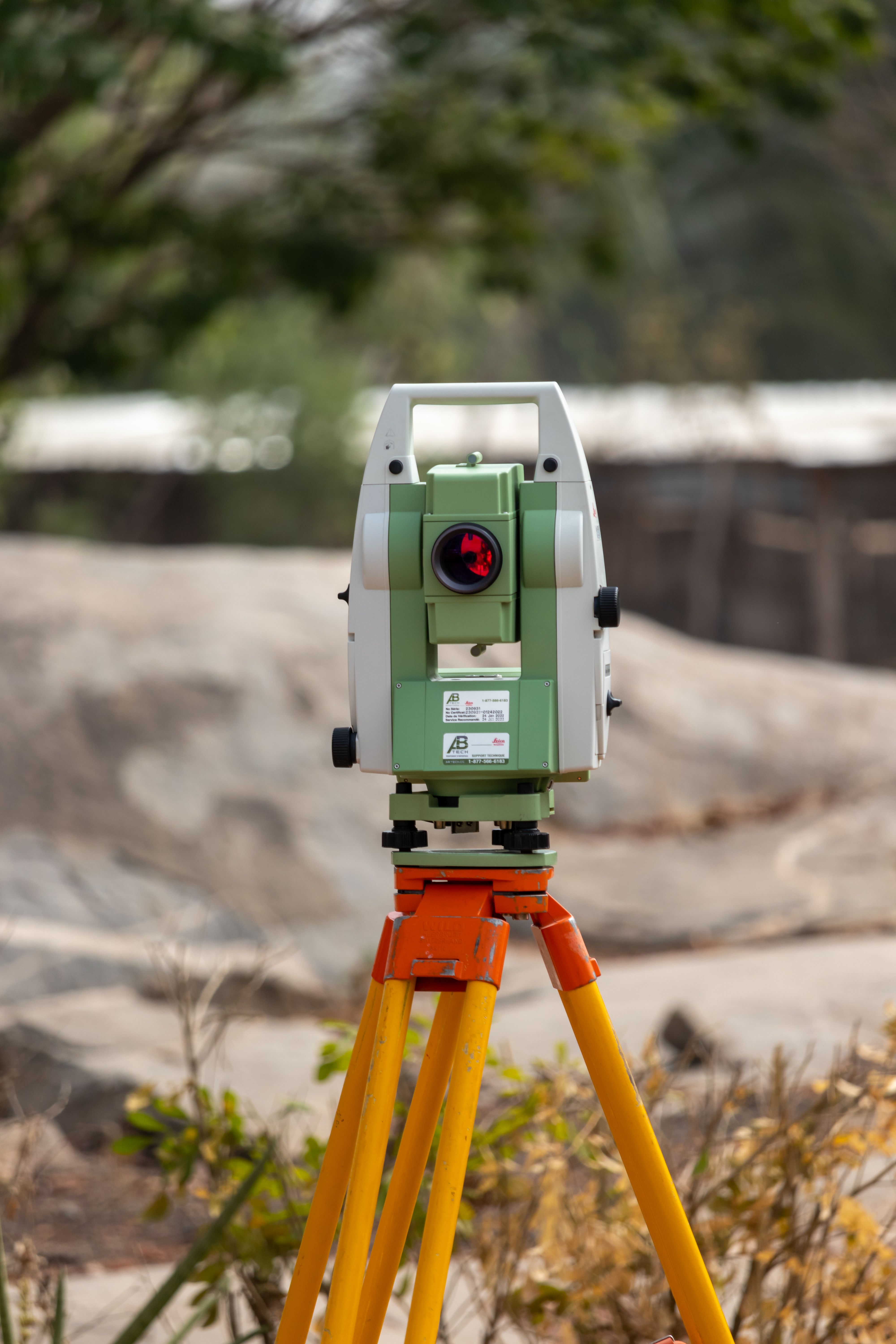
Measurement Survey
Precise, defensible measurement of any parcel — area, dimensions and levels — captured with total-station equipment and reconciled against your 7/12 extract and revenue records.
- Area & dimension measurement to revenue-record accuracy
- Total-station data capture with coordinates
- Reconciliation with 7/12, property card & tippan
- Measurement plan / map prepared for your file
Centre Line
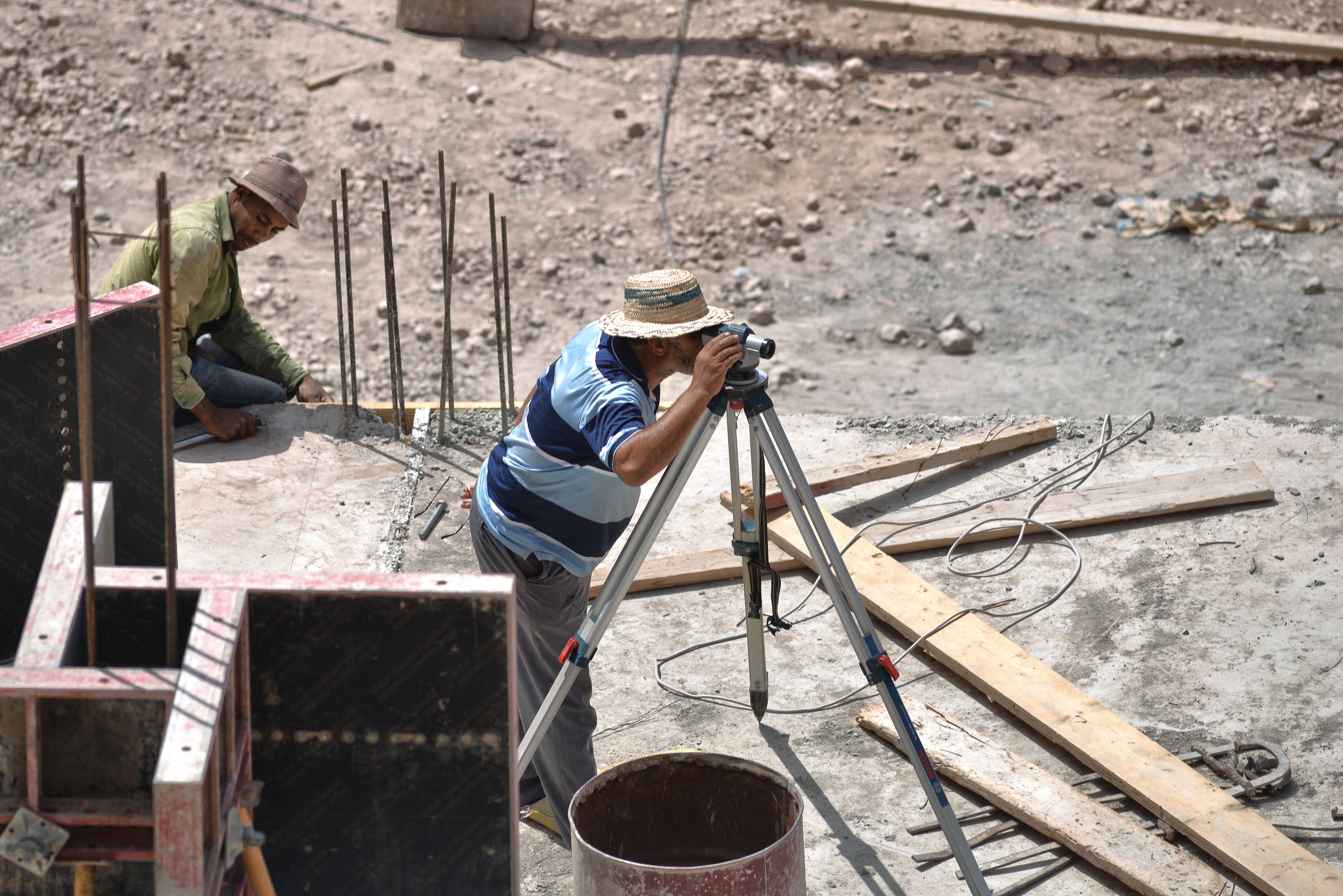
The reference spine every road and structure is built around. We set out accurate centre lines for internal roads, plot rows and buildings so construction starts from a true datum.
- Centre-line marking for roads & internal layout rows
- Building centre lines and grid set-out
- Offset pegs and reference points for construction
- Alignment tied to the sanctioned layout drawing
Boundary Marking & Fixing
Clear lines settle disputes. We demarcate boundaries on the ground from authentic records and fix permanent RCC boundary poles, so everyone knows exactly where one parcel ends and the next begins.
- On-ground demarcation from tippan & revenue maps
- Permanent RCC boundary poles fixed at corners
- Support for boundary disputes & encroachment checks
- Corner coordinates documented for the record

Layouts & Plotting
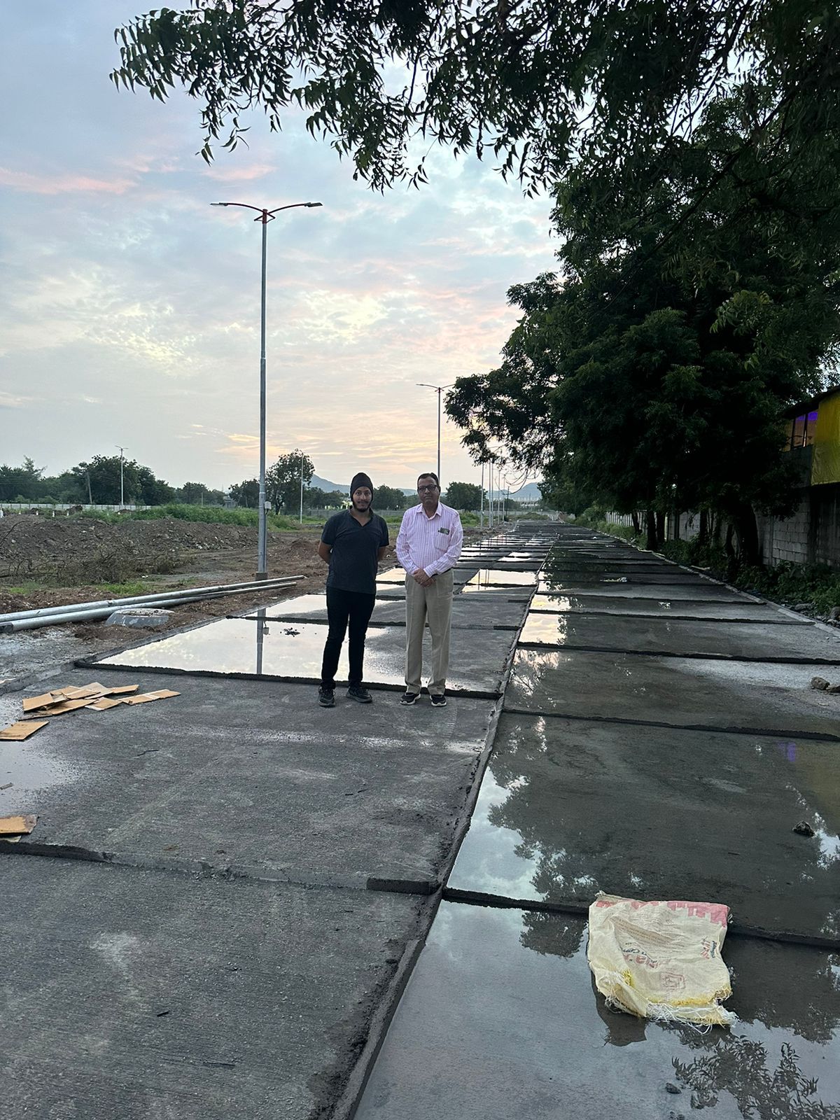
Turning one piece of land into sanctioned, sellable plots. What people still call an “NA layout” is simply a sanctioned layout now — the rules changed, the work didn't. We design the plots, internal roads and open space, and prepare drawings the authority will sanction.
- Layout design — plots, internal roads & open space
- Amenity and open-space requirements worked into the plan
- Land-use position checked before you spend anything
- Dues and costs laid out up front, no surprises later
Planning & Approval
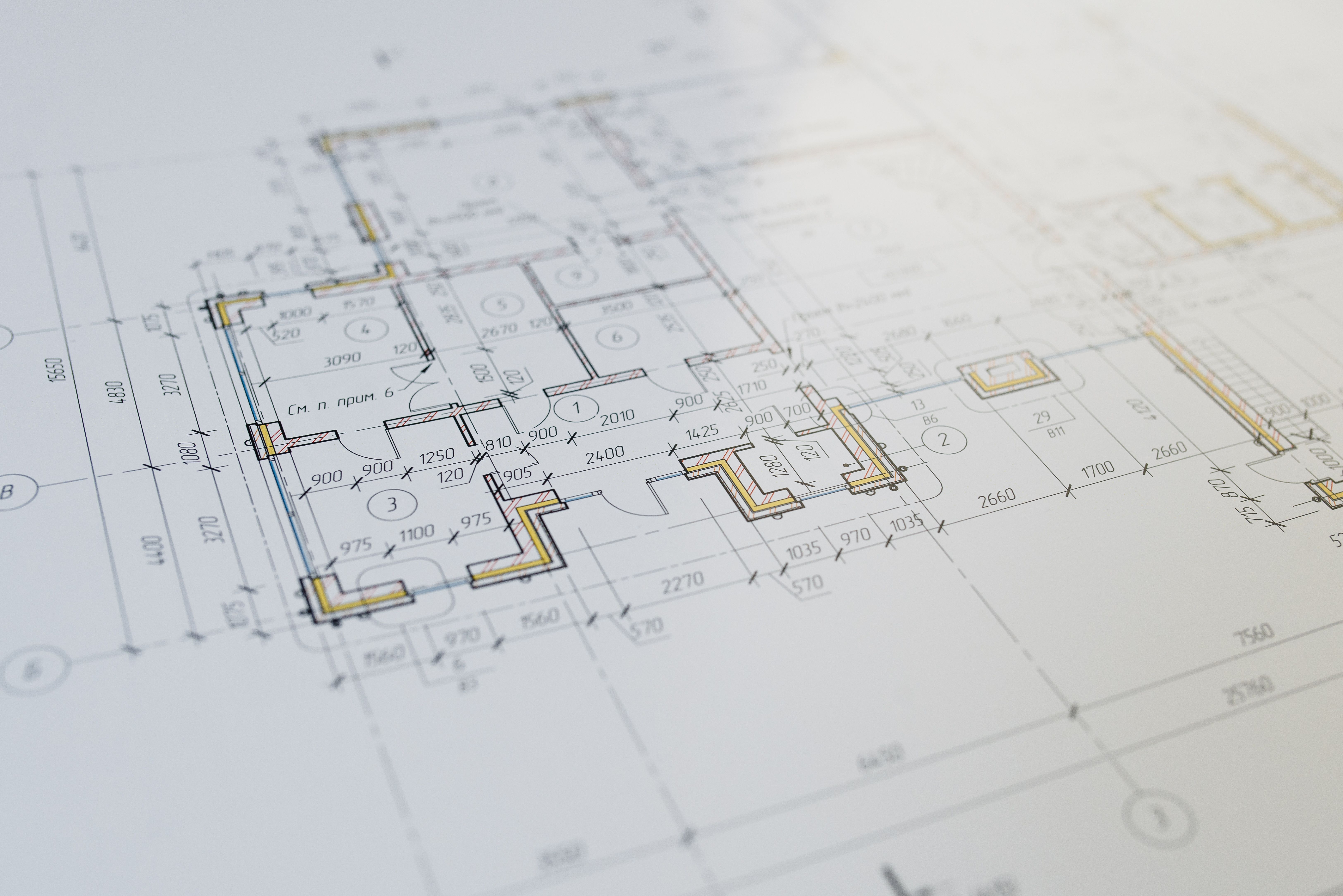
We take the file the last mile — compiling drawings and documents and liaising with the Town Planning department, the Collectorate and local bodies until your layout is sanctioned.
- Layout planning aligned to development control rules
- Documentation & file preparation for submission
- Liaison with Town Planning, Collectorate & local bodies
- Follow-through to final sanction & release
Tell us your survey number — we'll map out the steps.
Whether you need a single boundary fixed or a full layout sanctioned, we'll tell you exactly what's involved, what it costs and how long it takes.